Image module

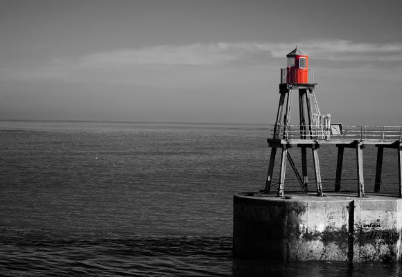
Specialist Hydrographic Surveying Services in the Marine Environment
– Oceans, Seas, Estuaries, Rivers, Lakes and Dams – 

Hydrographic Surveying Service Industries

We provide certified hydrographic surveying services to the following government and commercial industry sectors operating in the marine environment:

  • Government and Defence Agencies and Organisations
  • Ports and Harbour Authorities
  • Coastal Zone Engineering and Management Consultancies
  • Environmental and Resource Protection Consultancies
  • Marine, Civil and Mining Construction Companies
  • Offshore Oil and Gas Energy Companies
  • Offshore Renewable Energy Companies
Image module

Hydrographic Surveying Service Applications

We provide certified hydrographic surveying services for the following
applications in the marine environment.

Image module

Hydrographic Surveys

  • Nautical Charting and Safety of Navigation Surveys
  • Ports, Harbour and Coastal Facility Surveys
  • Coastal Infrastructure Development Surveys
  • Dredging Monitoring and Support Surveys
  • Object Detection and Debris Clearance Surveys
  • Hazard, Underwater Obstruction and Wreck Surveys
  • Offshore Exploration and Seismic Clearance Surveys
  • Reservoir and Dam Asset Management Surveys
  • Reconnaissance, Search and Rescue Surveys
  • Rapid Response Surveys

Environmental Surveys

  • Scientific Research Seabed Mapping Surveys
  • Seabed Habitat Mapping and Classification Surveys
  • Sediment Erosion and Deposition Monitoring Surveys
  • Environmental Impact Assessment Surveys
  • Marine Development Resource Consent Surveys
  • Proposed Marine Protection Area Surveys

Vessel Mobilisation Services
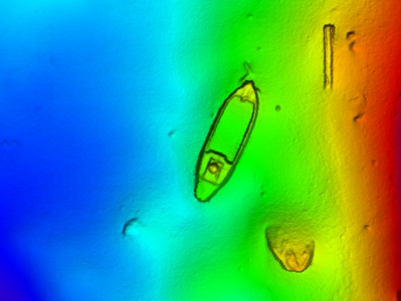
  • Dimensional Control Surveys
  • Static Positioning System Checks
  • Heading System and Motion Reference Unit Calibrations
  • Survey System Mobilisations, Sensor Integration and Training
  • Survey System Commissioning and Acceptance Trials

Geophysical Surveys

  • Submarine Pipeline Route Reconnaissance, Establishment and As-Constructed Surveys
  • Submarine Cable Route Reconnaissance, Establishment and As-Constructed Surveys
  • Offshore Wind, Tidal and Wave Energy Development Surveys
  • Pre and Post Construction Scour Monitoring Surveys

Positioning Surveys

  • Vessel Navigation and Positioning Support Surveys
  • ROV Navigation and Positioning Support Surveys
  • Diver Navigation and Positioning Support Surveys
  • Subsea Structure Positioning Surveys
  • Navigation Aid Positioning and Inspection Surveys

Geodetic and Tide Surveys

  • Geodetic Control and Tide Gauge Installations
  • Geodetic Control Surveys and Precise Levelling Networks
  • Geodetic and Tidal Datum Establishments

Consultancy and Technical Support

  • Project Management Services
  • Client Quality Control Support Services
  • Tendering Support Services
  • Desktop Studies and Reports
  • Data Processing Services

Hydrographic Surveying Systems

We utilise the following hydrographic surveying systems during the provision of services:

  • Multibeam Echo Sounders - Teledyne Reson, R2Sonic, Kongsberg, NORBIT
  • Single Beam Echo Sounders – ATLAS Hydrographic, Odom Hydrographic, Kongsberg, CEEPULSE
  • Laser Scanners – RIEGL, Carlson Merlin
  • Global Navigation Satellite Systems – Trimble, Leica, JAVAD, Septentrio, Veripos, C-Nav, NovAtel
  • Inertial Navigation and Motion Reference Systems - Applanix, iXblue, Coda Octopus
  • Acoustic Positioning Systems – Sonardyne, Kongsberg, Applied Acoustics, iXblue
  • Sound Velocity Sensors – Valeport, Teledyne Reson, AML Oceanographic
  • Tide Sensors – Valeport, In-Situ, RBR
  • Sidescan Sonars – Klein, EdgeTech, C-MAX
  • Magnetometers – Geometrics, Marine Magnetics
  • Total Stations – Leica, Topcon, Trimble
  • Data Acquisition Software – QPS QINSy, Teledyne PDS, HYPACK
  • Data Processing Software – QPS QINSy/Qimera/Fledermaus FMGT, CARIS HIPS and SIPS, BeamWorX AutoClean

Contact us for more information

For further information about how we can assist your project, please send an online message.

Send Online Message